Monday, August 23, 2010

ATV’ing on the Paiute trail, Utah

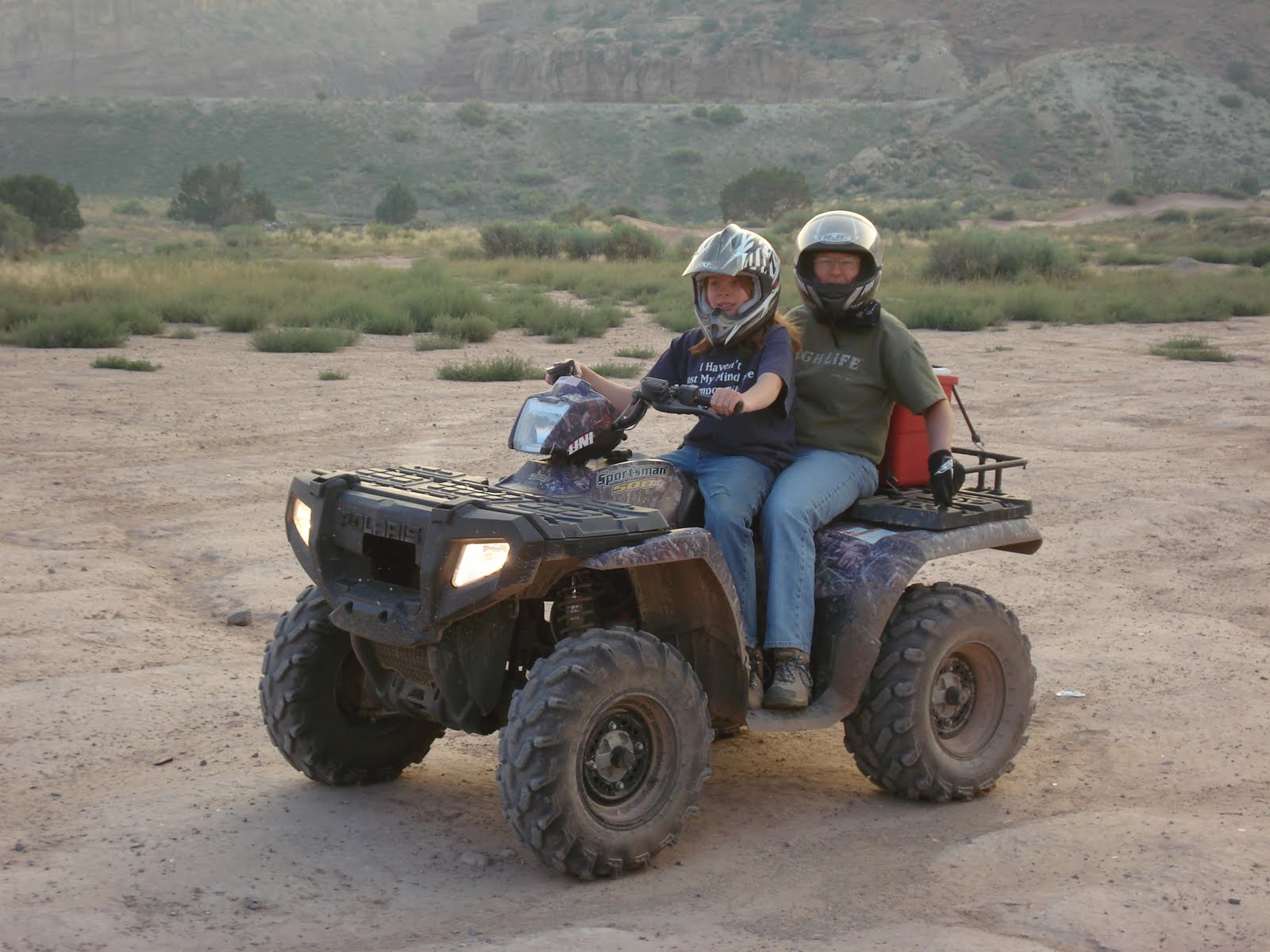
The Paiute ATV Trail is a 900+ mile ATV trail system, a trail system with no beginning and no end, making it the largest in the nation! It is truly impossible to put in writing how you feel as you sit on a ridge at 11,000 feet looking a hundred miles into the distance, or maneuver your ATV through a dense forest on a four-foot-wide trail. We rode over a 100 miles of trial and didn’t even scratch the surface of things to explore on the Paiute.
This is the city of Richfield in the distance


Click here to see the rest of the
Paiute ATV trail photos

Our Google Map Location


Wednesday, August 18, 2010

Lehman Caves, Nevada

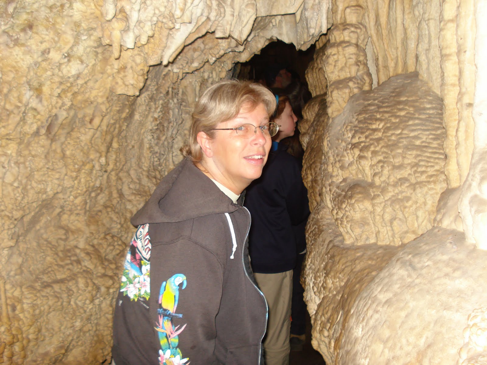
Lehman Caves is a beautiful marble cave ornately decorated with stalactites, stalagmites, helictites, flowstone, popcorn, and over 300 rare shield formations.


Shield formations
Shield formations

Click here to see the rest of the
Lehman Caves National Monument photos

Our Google Map Location

Thursday, August 12, 2010

Great Basin National Park, Nevada

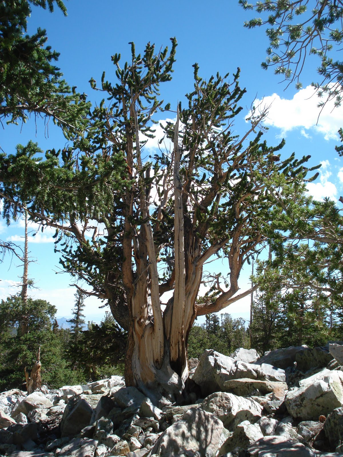
Great Basin National Park is home to the only glacier in Nevada, and one of the southernmost glaciers in the United States. The Wheeler Peak Glacier sits at the base of Wheeler Peak, in a protected cirque around 11,500 feet in elevation. The glacier measures 300 feet long and 400 feet wide. Exact depth is unknown. The park is also notable for its groves of ancient bristlecone pines, the oldest known trees. The bristlecone pines are a small group of pine trees that are thought to reach an age far greater than that of any other single living organism known, up to nearly 5,000 years.
Our home away from home

If your feeling stressed out, just watch this short video and relax!


Click here to see the rest of the
Great Basin National Park photos

Our Google Map Location


Friday, August 6, 2010

Thousand Lake Mountain, Utah

We headed out into Fishlake National Forest to Thousand Lake Mountain for some camping. It’s all boondocking here, no campground and amenities. Thousand Lake Mountain is located in the easternmost section of Fishlake National Forest. A section of the Great Western Trail traverses the mountain from north to south.


Time for some smores!

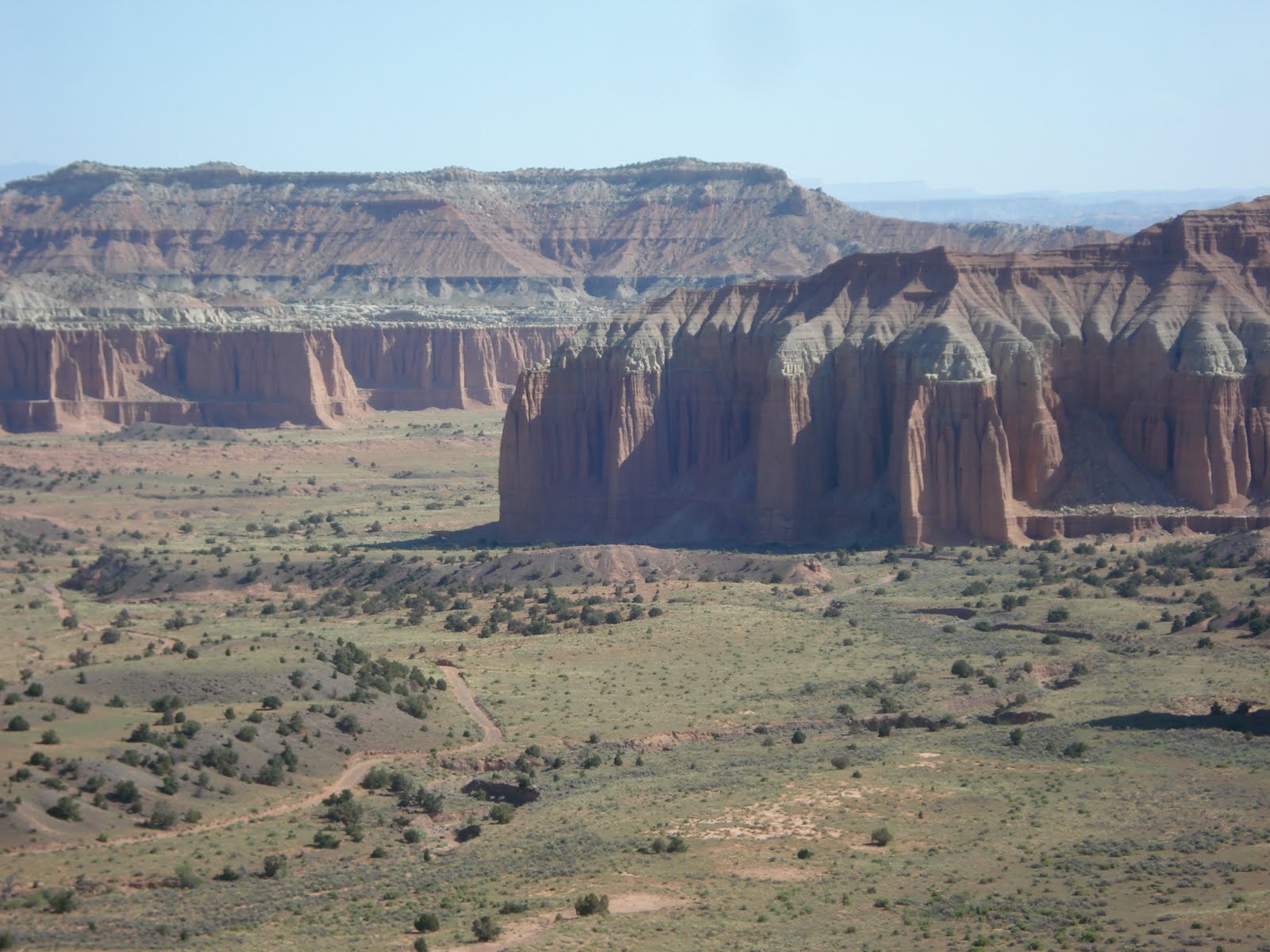
We headed into Capitol Reef from the national forest, its all dirt roads and 4 wheel drive this route. We made it to the beginning of the water fold in the reef. It’s an incredible view from here and not a human being to be found!


Click here to see the rest of the
Thousand Lakes, Mountain photos

Our Google Map Location

Thursday, July 29, 2010

Fish Lake, Utah

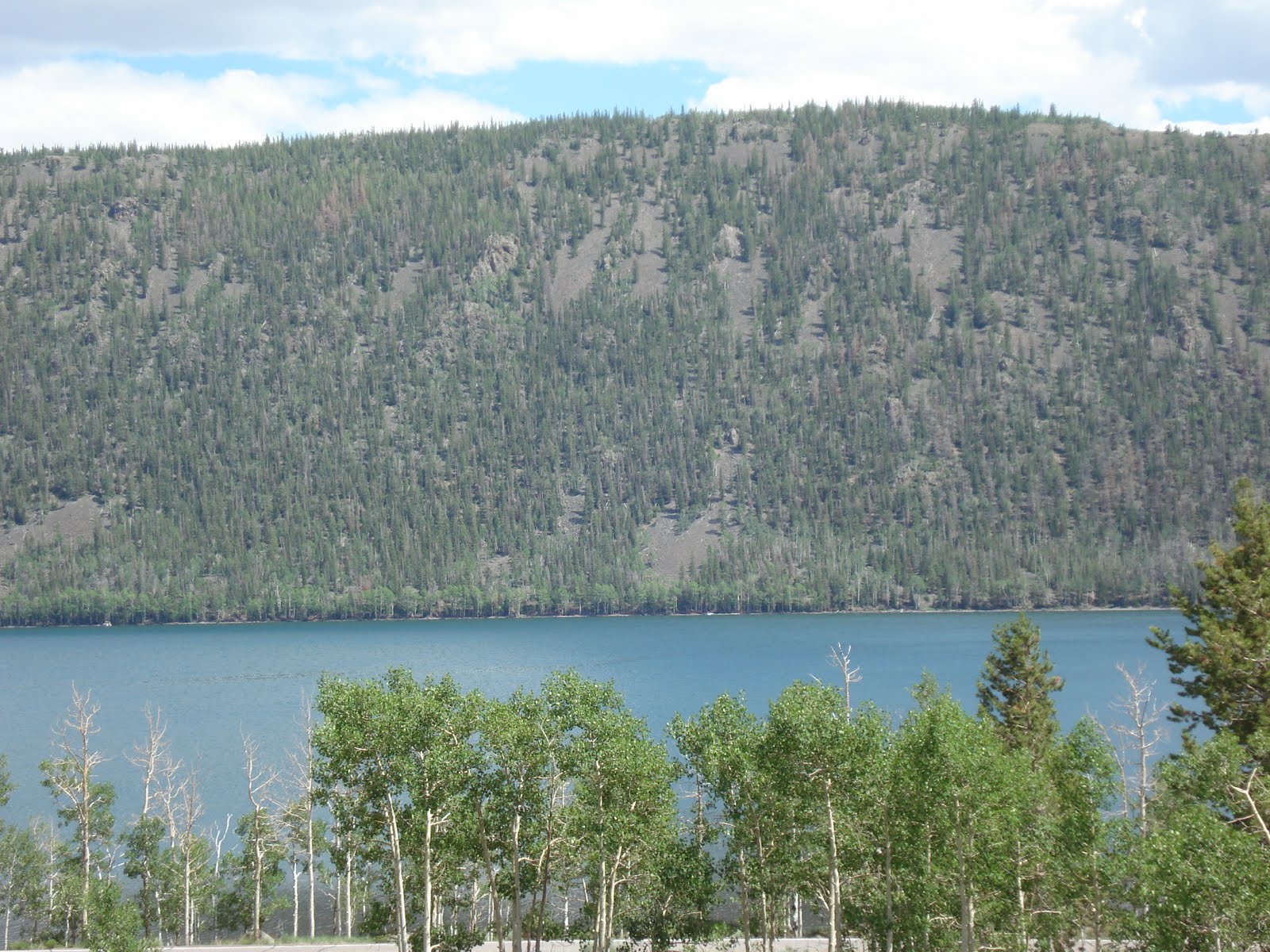
Fish Lake is a high alpine lake (elevation approximately 8,848 ft). It lies within and is the namesake of the Fishlake National Forest. Fish Lake is six miles long and one mile wide, lies in a geologic structure known as a graben valley. It is bounded by the Mytoge Mountains on the south-east shore which rise sharply to over 1,000 feet above the lake level. Along the north-west shore, the lake is bounded by Fish Lake Hightop Plateau (elevation 11,600 ft). We camped in the Mackinaw campground along the lake shore. We tried our luck at some trout fishing, but came back empty handed.


Jane & Robbie enjoying the campfire


Click here to see the rest of the
Fish Lake photos

Our Google Map Location


Friday, July 23, 2010

Maple Grove Campground, Utah

We found a nice little Forest Service campground near where we are in Richfield. The kids loved the stream that ran thru it. There was a rope swing they played on most of the time.

Robbie caught a small trout, which he got to cook and eat with dinner.


Click here to see the rest of the
Maple Grove photos


Our Google Map Location