Tuesday, September 28, 2010

Canyonlands National Park, Utah

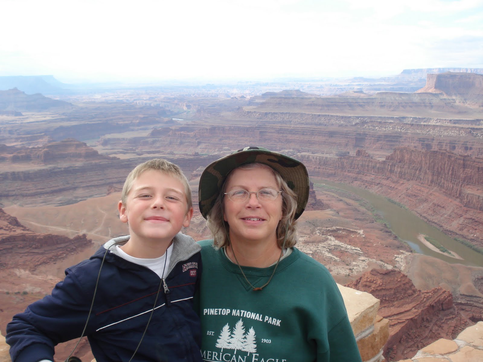
A colorful landscape eroded into countless canyons, mesas and buttes by the Colorado River and Green River, and their respective tributaries. The rivers divide the park into four districts: the Island in the Sky, the Needles, the Maze and the rivers themselves. While these areas share a primitive desert atmosphere, each retains its own character. The park covers 527.5 square miles. Canyons are carved into the Colorado Plateau by the Colorado River and Green River.

We decided to drive to the bottom of the canyon, there is one single track road that goes down 2000 feet. It was quite the rough scenic drive.


Click here to see the rest of the
Canyonlands National Park photos

Our Google Map Location


Wednesday, September 22, 2010

Dead Horse Point, Utah

Featuring a dramatic overlook of the Colorado River. The park is so named because of its use as a natural corral by cowboys in the 19th century. The "dead horse" part of the name is that the corral was abandoned, but the horses did not leave the corral, even after the gate was left open, and died there.
The plateau is surrounded by sheer cliffs two thousand feet high, with only a narrow neck of land (30 yards wide) connecting the mesa to the main plateau. Thus it was easy for cowboys to simply fence off this narrow neck, and keep rounded up wild horses from running away. Legend has it that one group of horses was inadvertently left fenced in and eventually died of thirst. The area was also used in the final scene of the 1991 film Thelma & Louise


Click here to see the rest of the
Dead Horse Point photos

Our Google Map Location


Monday, September 13, 2010

Kolob Canyons, Zion National Park

Kolob Canyons is in the northwest section of Zion National Park. The Kolob Canyons are part of the Colorado Plateau region of the park and are noted for their colorful beauty and diverse landscape. We stopped by for a hike at Taylors Creek.


Click here to see the rest of the
Cedar Breaks National Monument photos

Our Google Map Location

Monday, September 6, 2010

Cedar Breaks National Monument, Utah

Cedar Breaks is located near Cedar City. Cedar Breaks is a natural amphitheater canyon, stretching across 3 miles, with a depth of over 2,000 feet. The elevation of the rim of the canyon is over 10,000 feet above sea level.
The eroded rock of the canyon is similar to formations at Bryce Canyon National Park, but has its own distinct look. Because of its elevation, snow often makes it inaccessible to vehicles from October through May.


Down in the valley is Cedar City

We hiked to this apline lake, you can see all the dead Spruce trees around. The pine beattle killed a large number of trees here

Here's are campsite, there was a large meadow behind the tree line


Sit down and enjoy the fire, the campsite is above 10,000 feet and the temperatures dropped down into the low 30's at night here.


Click here to see the rest of the
Cedar Breaks National Monument photos

Our Google Map Location