Thursday, July 29, 2010

Fish Lake, Utah

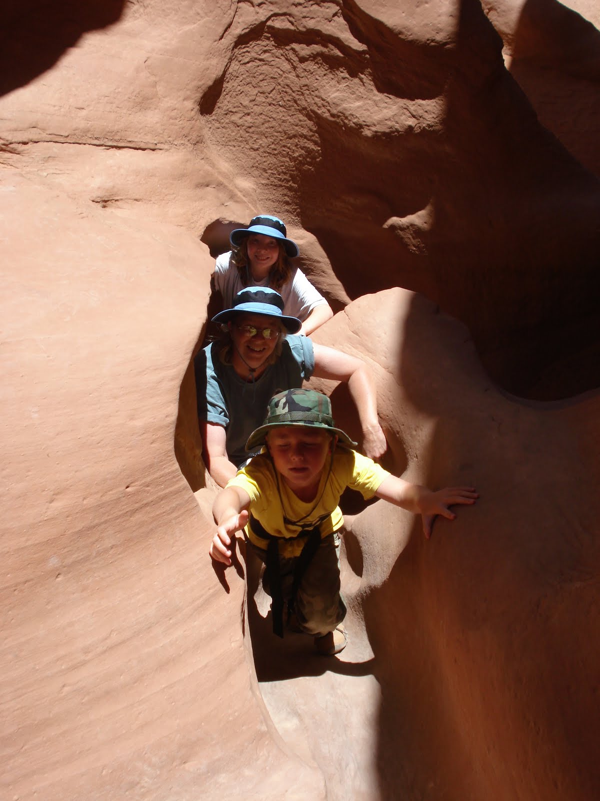
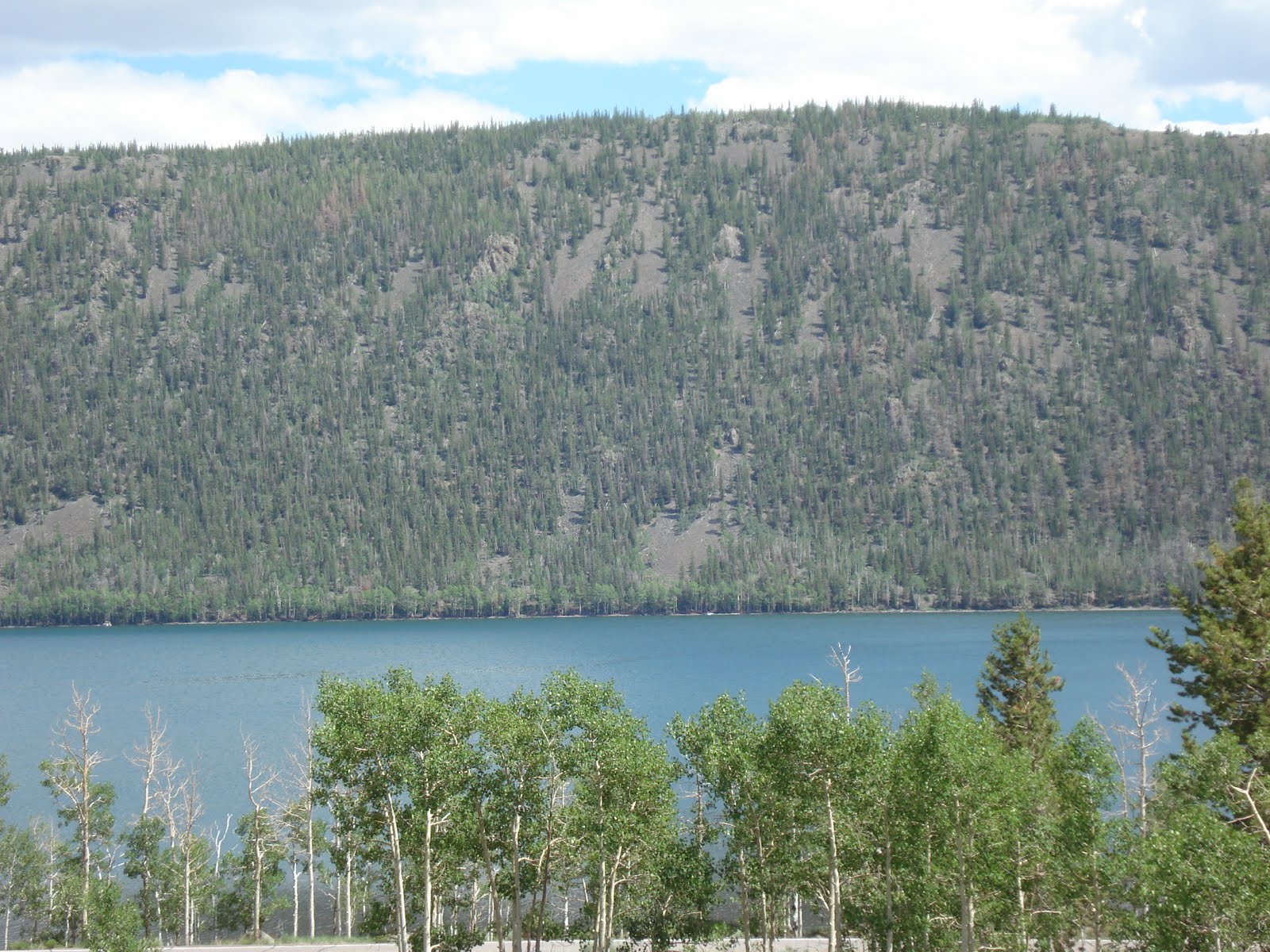
Fish Lake is a high alpine lake (elevation approximately 8,848 ft). It lies within and is the namesake of the Fishlake National Forest. Fish Lake is six miles long and one mile wide, lies in a geologic structure known as a graben valley. It is bounded by the Mytoge Mountains on the south-east shore which rise sharply to over 1,000 feet above the lake level. Along the north-west shore, the lake is bounded by Fish Lake Hightop Plateau (elevation 11,600 ft). We camped in the Mackinaw campground along the lake shore. We tried our luck at some trout fishing, but came back empty handed.


Jane & Robbie enjoying the campfire


Click here to see the rest of the
Fish Lake photos

Our Google Map Location


Friday, July 23, 2010

Maple Grove Campground, Utah

We found a nice little Forest Service campground near where we are in Richfield. The kids loved the stream that ran thru it. There was a rope swing they played on most of the time.

Robbie caught a small trout, which he got to cook and eat with dinner.


Click here to see the rest of the
Maple Grove photos


Our Google Map Location

Friday, July 16, 2010

Antelope Island, Salt Lake City Utah

Antelope Island State Park, the largest island in the Great Salt Lake, is home to a roaming herd of 500 bison. Pronghorn and bighorn sheep also share the rangelands that overlook the desert lake.

This Bison decided to sit and watch us!

Fielding Garr Ranch

Our little cow hands learning to rope.

The salinity of Great Salt Lake is highly variable and depends on the lake's level, it ranges from 5 to 27%. For comparison, the average salinity of an ocean is 3.5%.
What does all that mean? You can float without holding your breath or swimming!! Cooool!!

They don't mess around here in Utah, when you need to go somewhere you can get there fast!


Click here to see the rest of the
Antelope Island State Park
photos

Our Google Map Location

Friday, July 9, 2010

Peek-a-boo Gulch, Utah

Peek-a-boo Gulch is a slot canyon in the Dry Fork area of the Grand Staircase-Escalante BLM, located on the Hole-in-the-Rock Road. The canyon has spots that are extremely tight. Climbing and crawling is required to negotiate pour offs and chock stones.

There’s only one way in…. You have to climb almost straight up!!

Some spots are so tight you had to crawl thru them. Robbie has a big (or little) advantage here!

Click here to see the rest of the
Peek-a-boo Gulch
photos

Our Google Map Location

Monday, July 5, 2010

Kodachrome Basin State Park, Utah

Geologists believe Kodachrome Basin State Park was once similar to Yellowstone National Park with hot springs and geysers, which eventually filled up with sediment and solidified. Through time, the Entrada sandstone surrounding the solidified geysers eroded, leaving large sand pipes. Sixty-seven sand pipes ranging from 6 ft to 173 ft have been identified in the park.


We headed out into the Grand Staircase-Escalante National Monument BLM in southern Utah. The Arch is named to honor Gilbert Hovey Grosvenor (1875-1966), a president of the National Geographic Society, publishers of the National Geographic Magazine.

To get there you have to travel some ruff but fun back roads!


Click here to see the rest of the
Kodachrome Basin State Park
photos

Our Google Map Location


Saturday, July 3, 2010

Timpanogos Cave National Monument, Utah

Timpanogos Cave is a cave system in the Wasatch Mountains in American Fork Canyon. The 1.5 mile trail to the cave is steep and strenuous to say the least! There are three main chambers accessible, Hansen Cave, Middle Cave, and Timpanogos Cave. This is the first cave we’ve been to that has had Helictites.
Helictites

We found a cool place to camp in the Uinta National Forest. We had a site right on the stream!


Click here to see the rest of the
Timpanogos Cave
photos

Our Google Map Location