Thursday, July 1, 2010

Little Wild Horse Canyon, Utah

The Little Wild Horse Canyon hike is the most popular hike in the San Rafael Swell for good reason. The canyon is one of the best slot canyon hikes in Utah. From the moment you enter Little Wild Horse you are in fantastic narrows. The first long stretch of extremely tight narrows as it twists and turns through the reef is incredible! Squeezing through claustrophobic cracks in yellow rocks, winding around more bends than a conga line.
Things are getting tighter now!

And tighter!!

Here's what it looks like to look straight up!


Here are two video's of the hike


Click here to see the rest of the
Little Wild Horse Canyon
photos

Our Google Map Location


Wednesday, June 30, 2010

Goblin Valley State Park, Utah

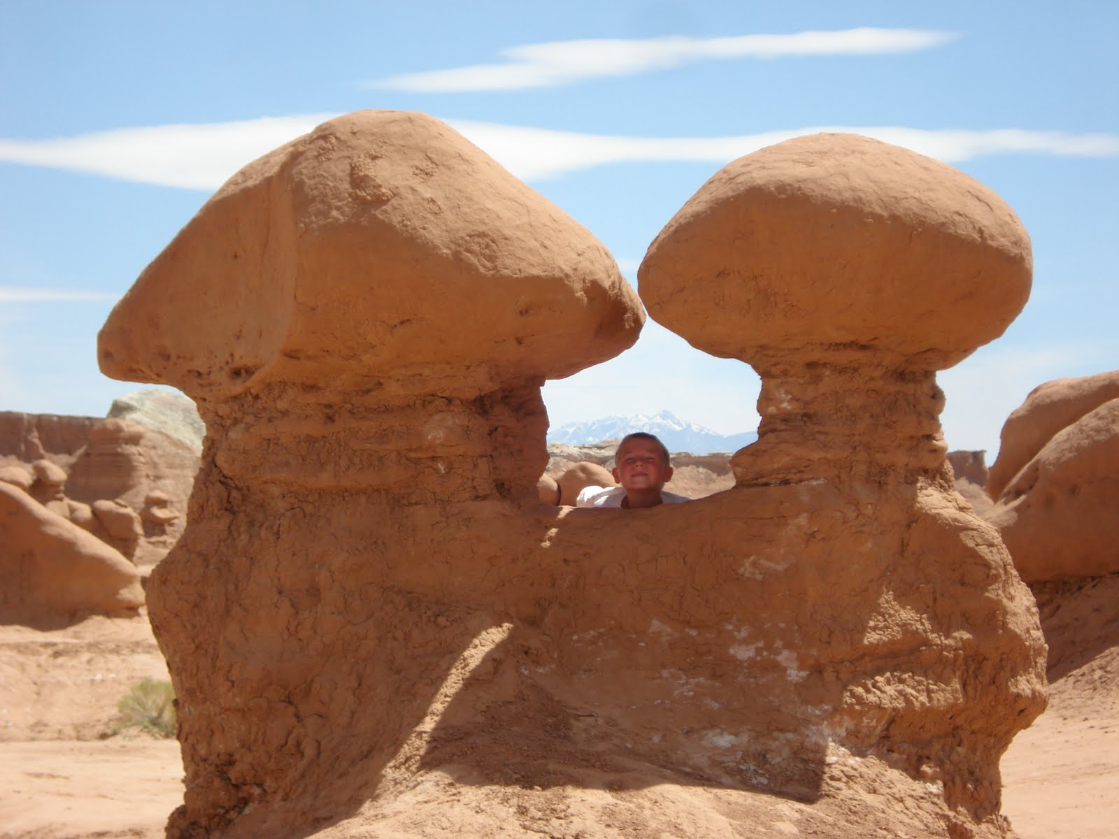
The unusual stone shapes in Goblin Valley result from the weathering of Entrada Sandstone. They consist of debris eroded from former highlands and redeposited on a former tidal flat of alternating layers of sandstone, siltstone and shale. The rocks show evidence of being near an ancient sea with 1) the ebb and flow of tides, 2) tidal channels that directed currents back to the sea and 3) coastal sand dunes.
Joint or fracture patterns within the Entrada's sandstone beds created initial zones of weakness. The unweathered joints intersected to form sharp edges and corners with greater surface-area-to-volume ratios than the faces. As a result, the edges weathered more quickly, producing the spherical-shaped 'goblins'.

Here's our campsite, right in the Hoodoo's and Goblin's.


Click here to see the rest of the
Goblin Valley
photos

Our Google Map Location

Monday, June 28, 2010

Arches National Park, Utah

The national park lies atop an underground evaporite layer or salt bed, which is the main cause of the formation of the arches, spires, balanced rocks, sandstone fins, and eroded monoliths in the area. This salt bed is thousands of feet thick in places, and was deposited in the Paradox Basin of the Colorado Plateau some 300 million years ago when a sea flowed into the region and eventually evaporated. Over millions of years, the salt bed was covered with debris eroded from the Uncompahgre Uplift to the northeast.


Click here to see the rest of the
Moab & Arches National Park
photos

Our Google Map Location

Sunday, June 27, 2010

Moab, Utah

We’ve got a second home now! We’re using our tent to get to some of the cooler places in Utah. It’s hard to take the trailer into some areas here. Check out this cool site on the Colorado River, between Moab and Arches National Park!


Click here to see the rest of the
Moab & Arches National Park
photos

Our Google Map Location

Saturday, June 26, 2010

Work Kamping at KOA, Utah

You might have noticed by the blog we seem to have been doing a lot everyday now? We started our summer job at the KOA in Richfield Utah and have had time and internet to get the blog updated. We’ve started taking weekly trips to see all that Utah has to offer. To make it easier we got a nice Eureka Sunrise tent so we can get into any place we want.
If you're passing through, stop by and see us!
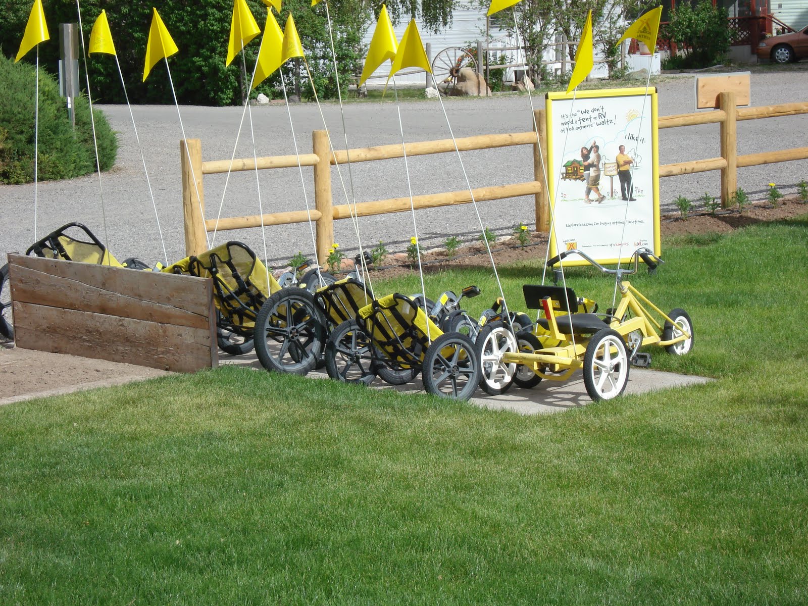
Here’s a look at our new summer home….


Click here to see the rest of the
Richfield KOA
photos

Our Google Map Location


Tuesday, June 22, 2010

Capitol Reef National Park, Utah

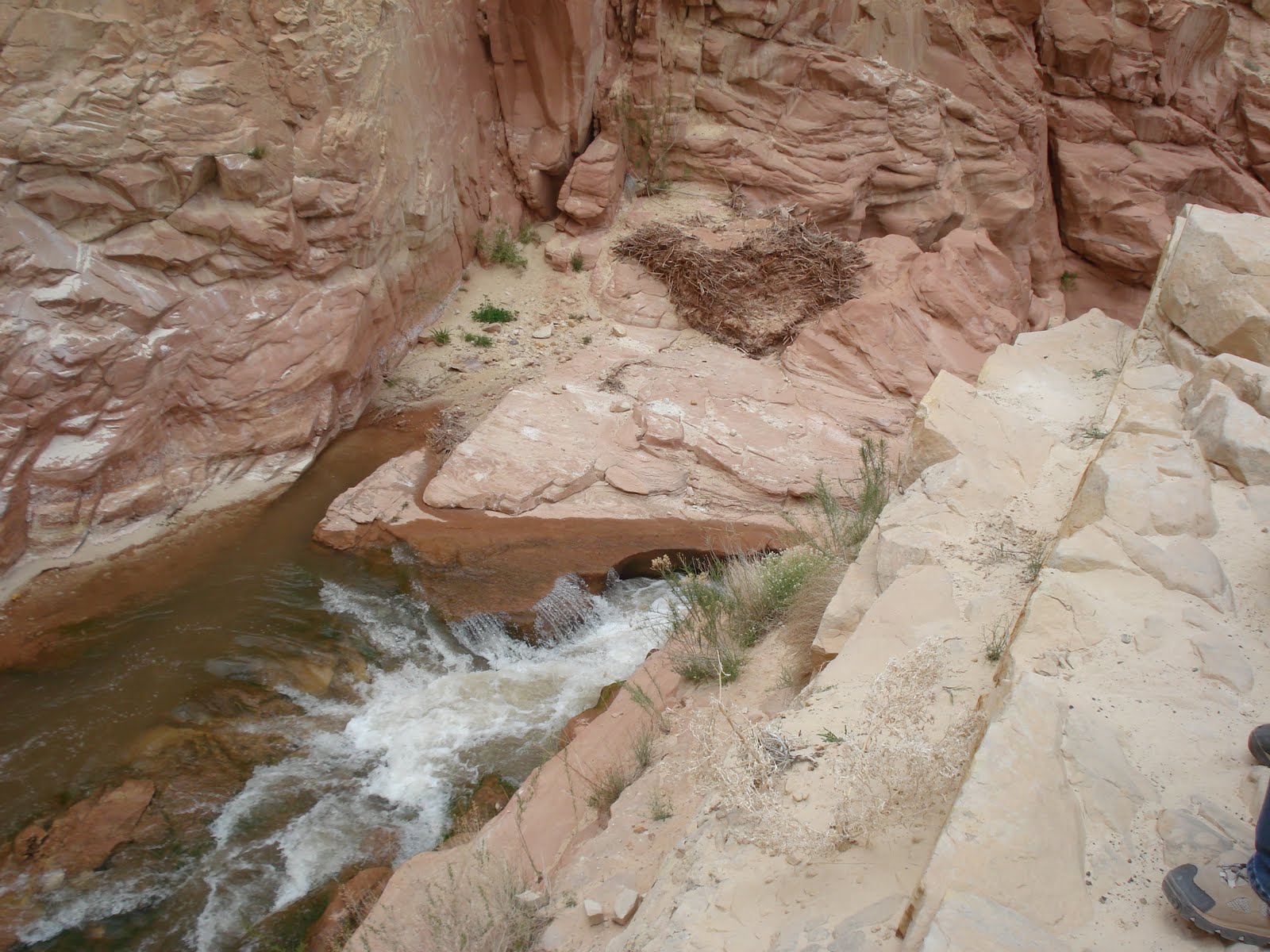
We found a cool water fall on one of our hikes, too bad it wasn’t warm enough to play in it!


Click here to see the rest of the
Capitol Reef National Park
photos

Our Google Map Location